OFFLINE MAPS · COMPLETE
Your maps, within reach.
COMPLETE includes regional street-map files for the contiguous United States, Alaska, and Hawaii. Extract the maps download, then choose a .pmtiles file in the dashboard’s Maps section to view it without an internet connection.
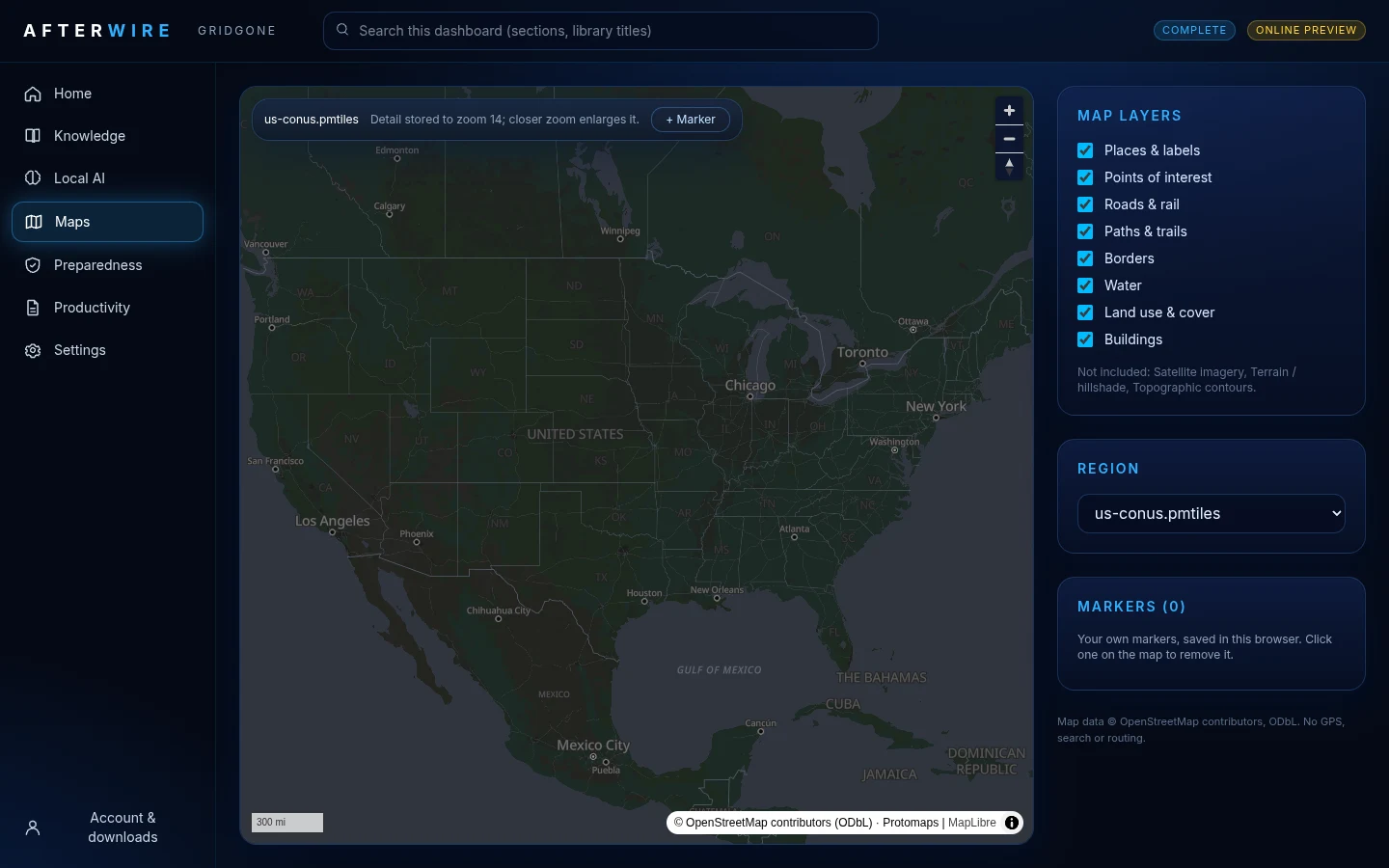
Maps use Protomaps basemap data and an offline MapLibre viewer. These are regional map references, with no satellite imagery, live traffic, or turn-by-turn navigation. Coverage is limited to the supplied extracts; it is not a global map collection.
The contiguous-US map is about 8.9 GB, Alaska about 0.7 GB, and Hawaii about 15 MB, before ZIP overhead. Allow space for both downloaded archives and extracted files.
Map and installation testing on physical Windows and Mac hardware is pending. Confirm your chosen map works offline before relying on it.